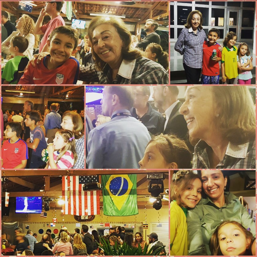
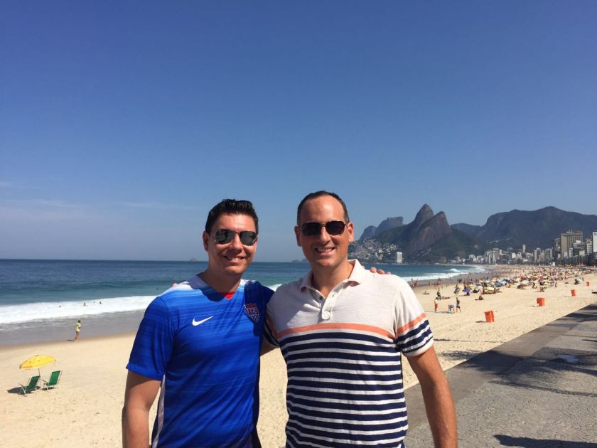
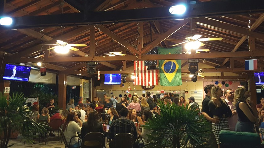
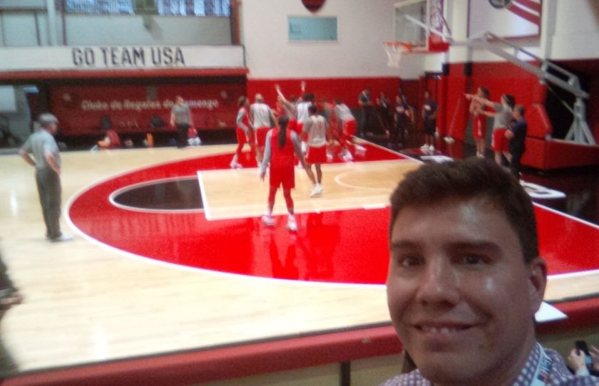
Well, the Olympic Games have come to Brazil… and our family has been very fortunate to have been part of these magnificent events.
Obviously, not the easiest task for our host country, but nevertheless, a pretty enjoyable experience.
How beautiful is the main host city, Rio de Janeiro? Here are a few shots I took from the “Cidade Maravilhosa”, while they were still getting ready to receive their guests:
This slideshow requires JavaScript.
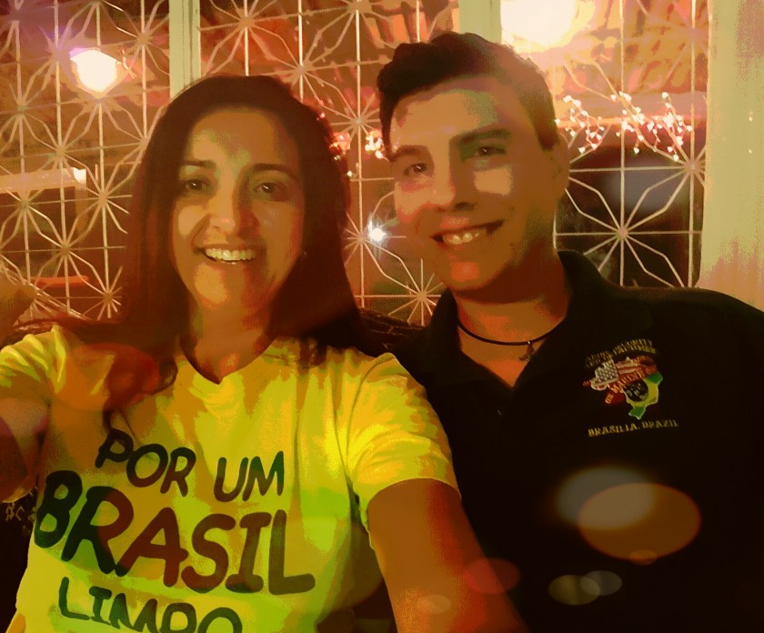
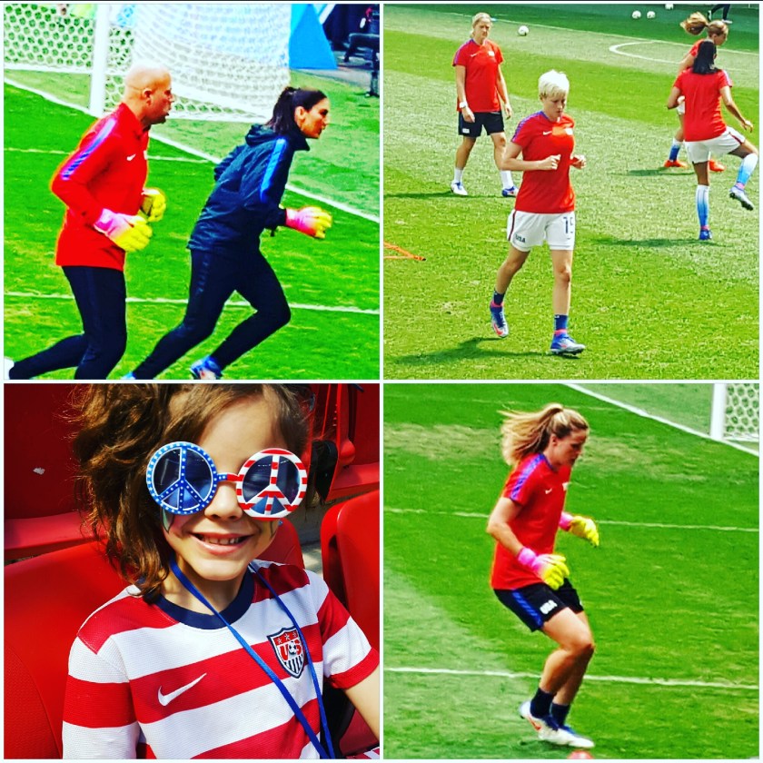
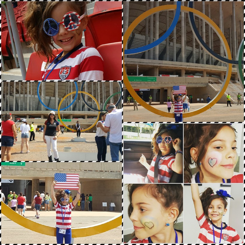
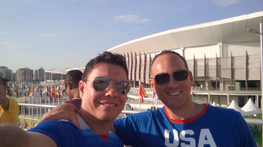
We do live in Brasilia, the capital of the country. We normally go to Rio for work (believe that?). Between games, social events, cheering… our children showing up on global social media channels (okay, I’m bias, but isn’t this 8-year-old girl the best representation of the sports fans??), our diplofamily made sure everyone would have great life memories from the Rio2016 Olympics.
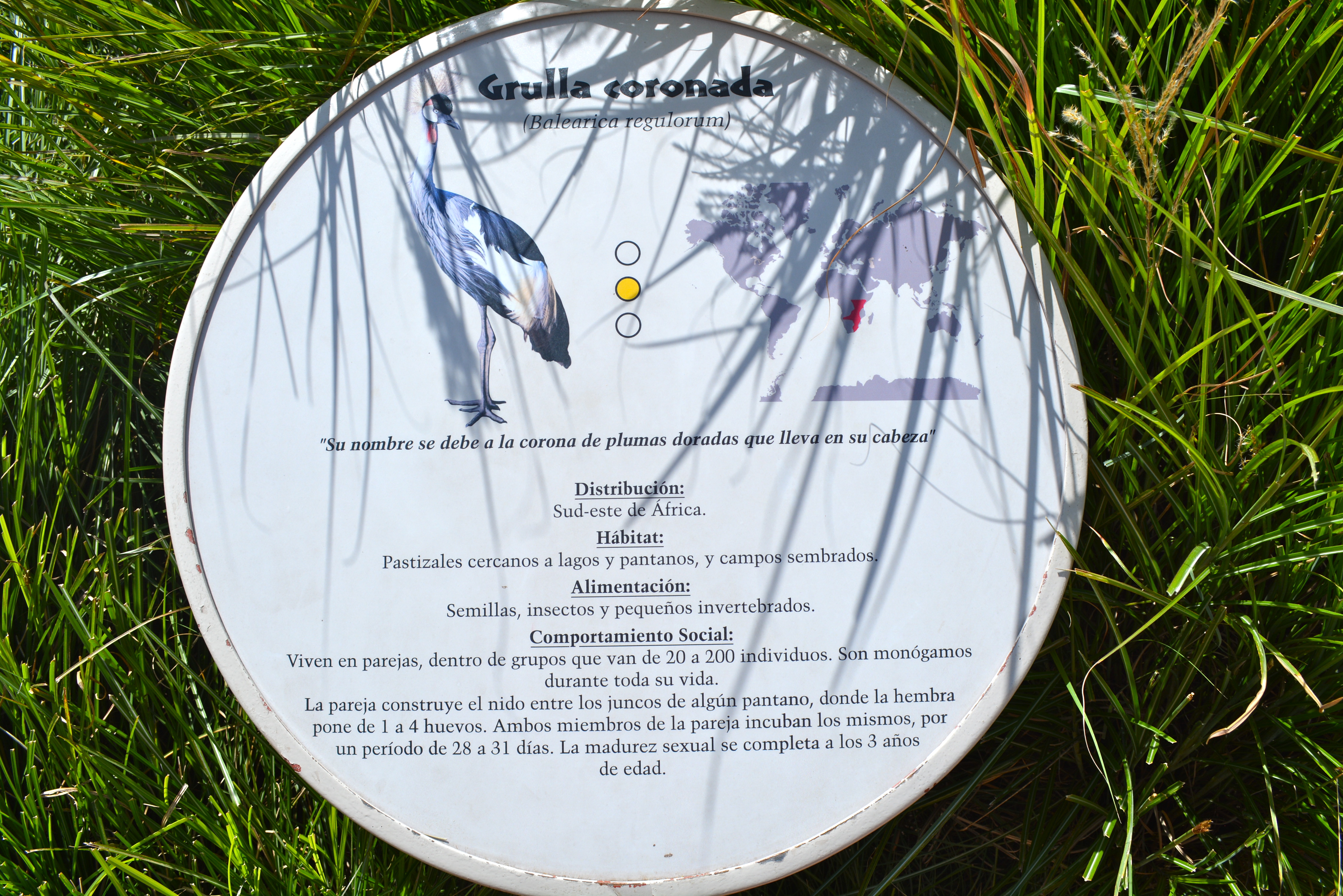
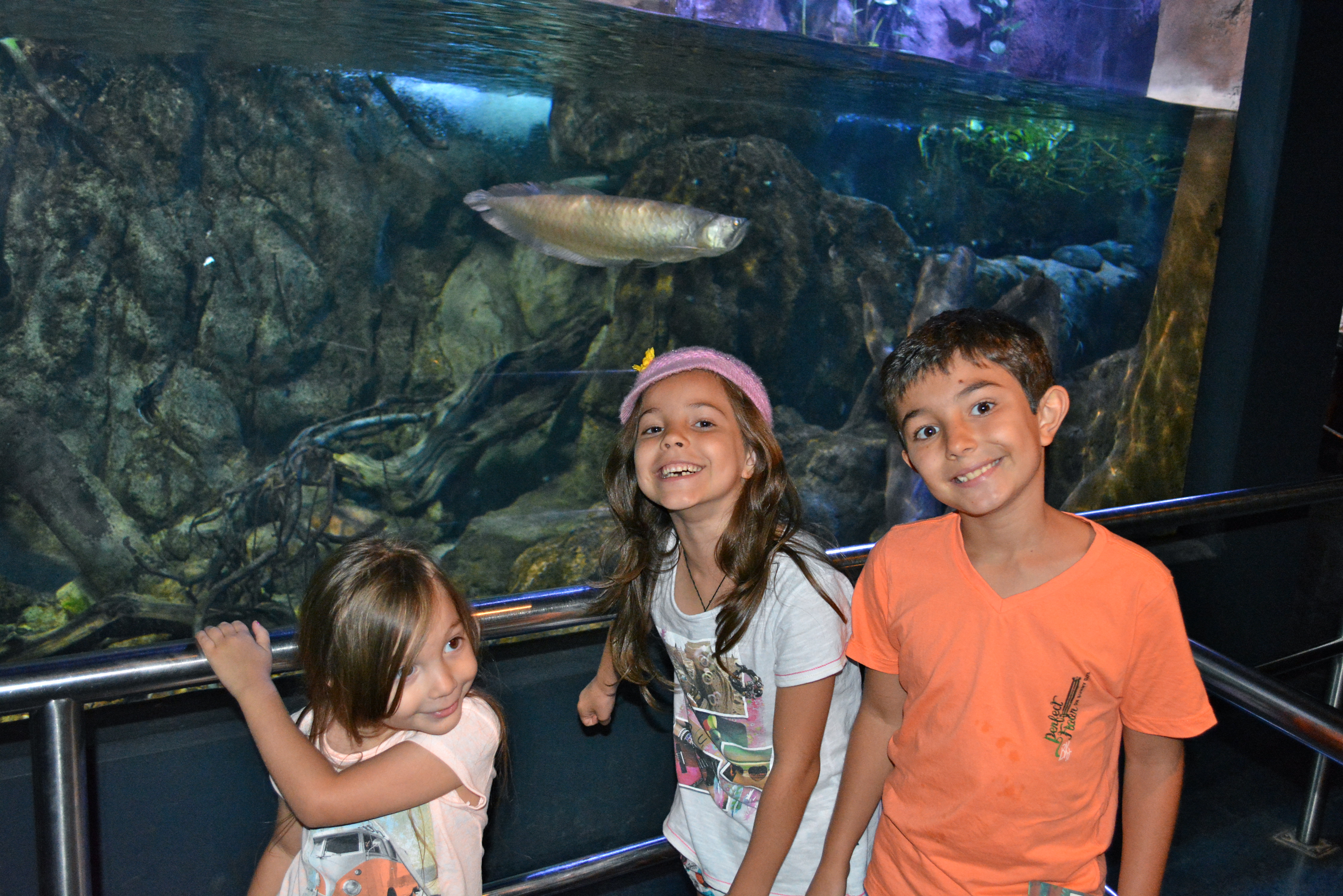
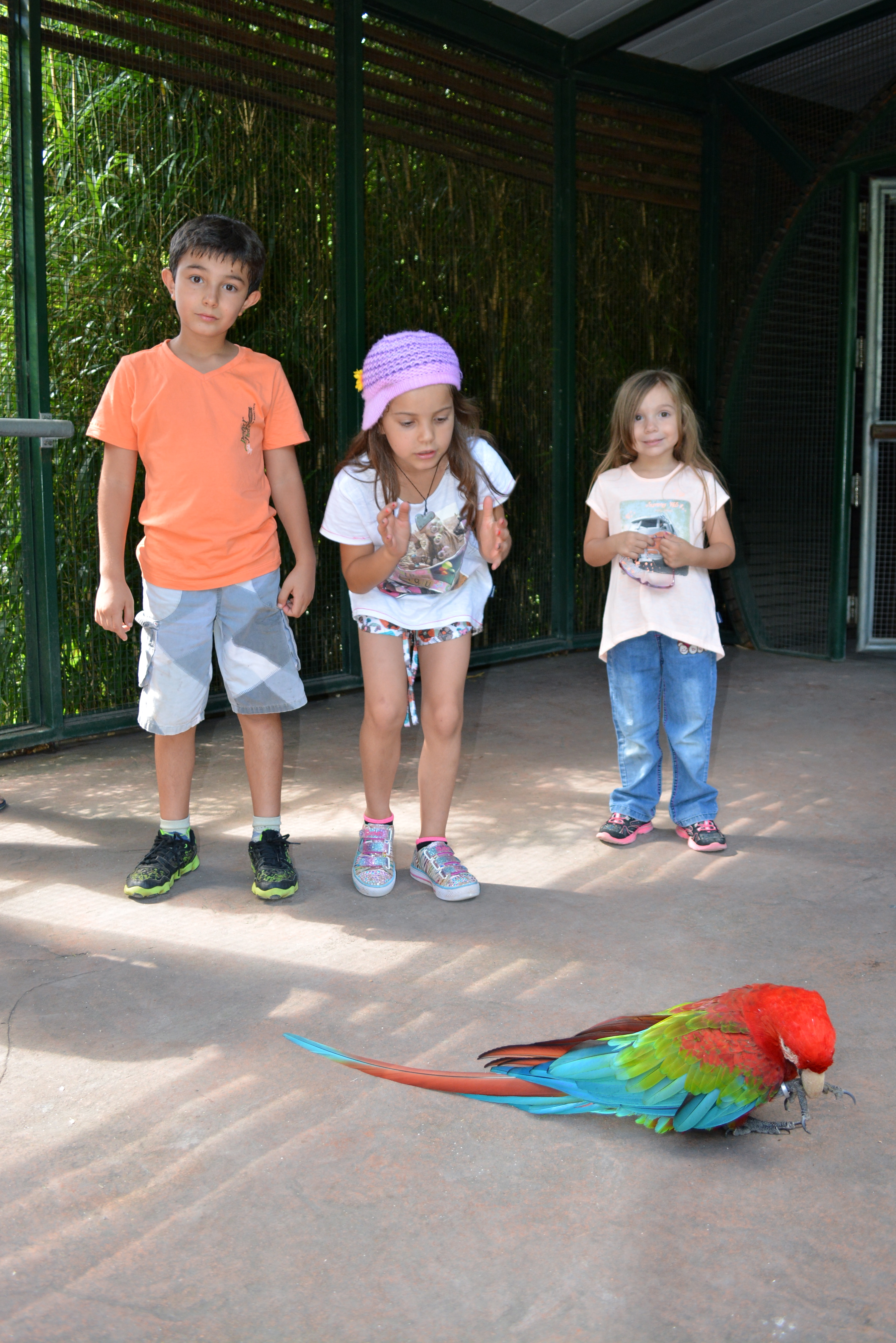
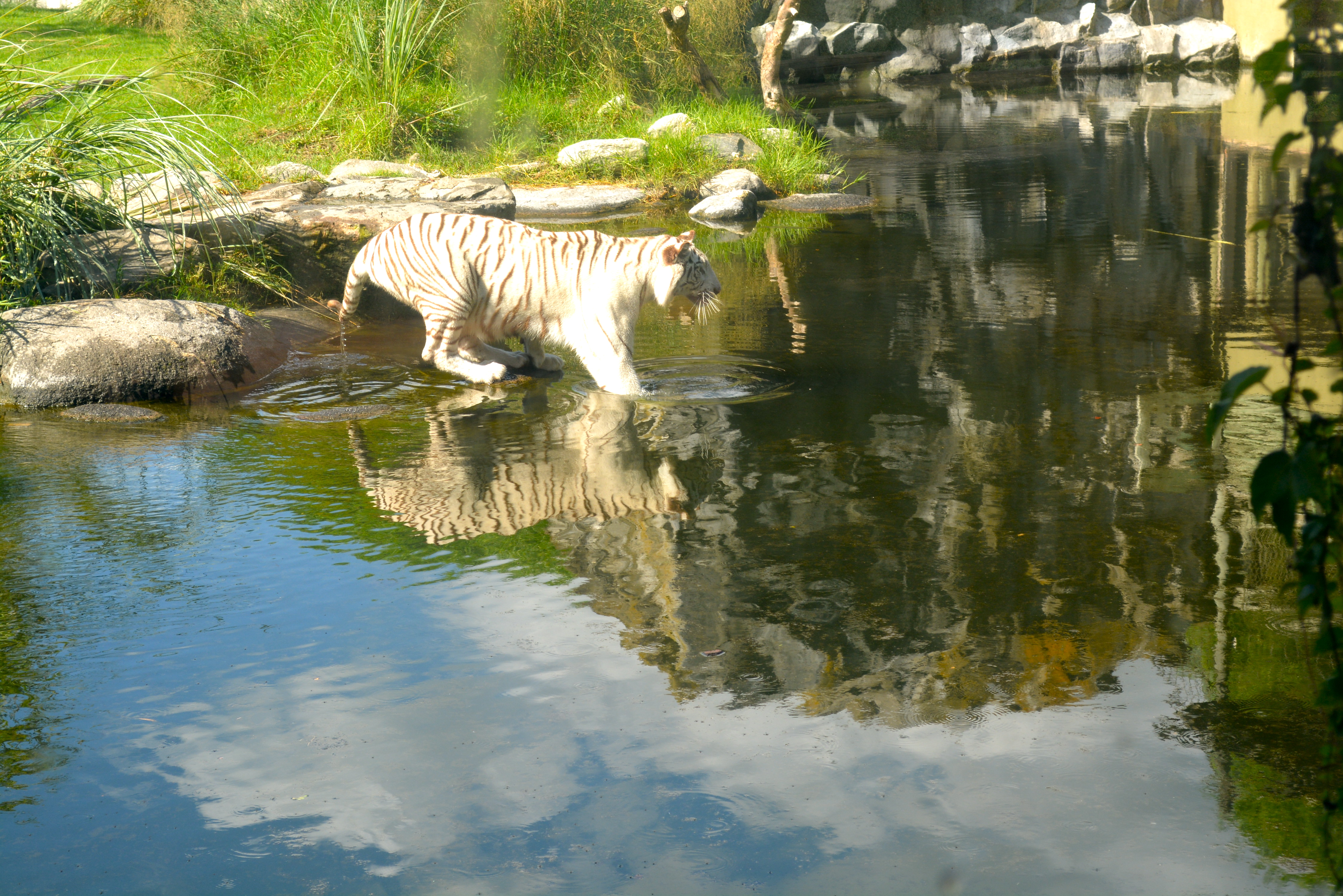
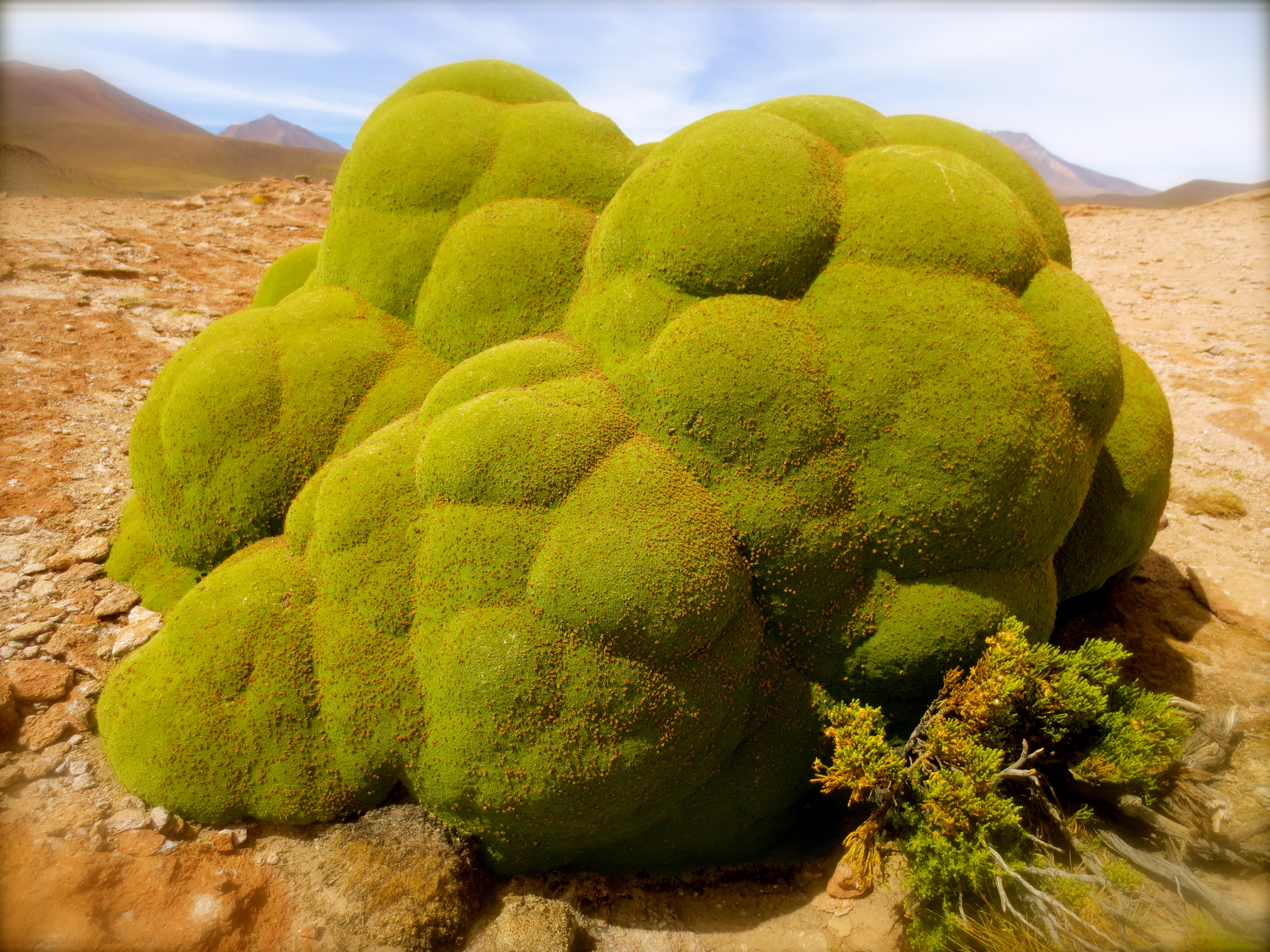
Although we’re currently posted in Brasilia, Brazil, I guess our family tends to be anywhere these days. Sharing here a few snapshots of a family trip to Argentina: this time, the Biopark Temaiken [Fundación Temaiken, Provincia de Buenos Aires].
Brasilia has no beaches, just a few waterfalls a couple hours out of the city.
Some people, though, tend to say that ‘Brasilia’s sky is their sea…’ Here are a few snapshots taken this week, before heading out to work:
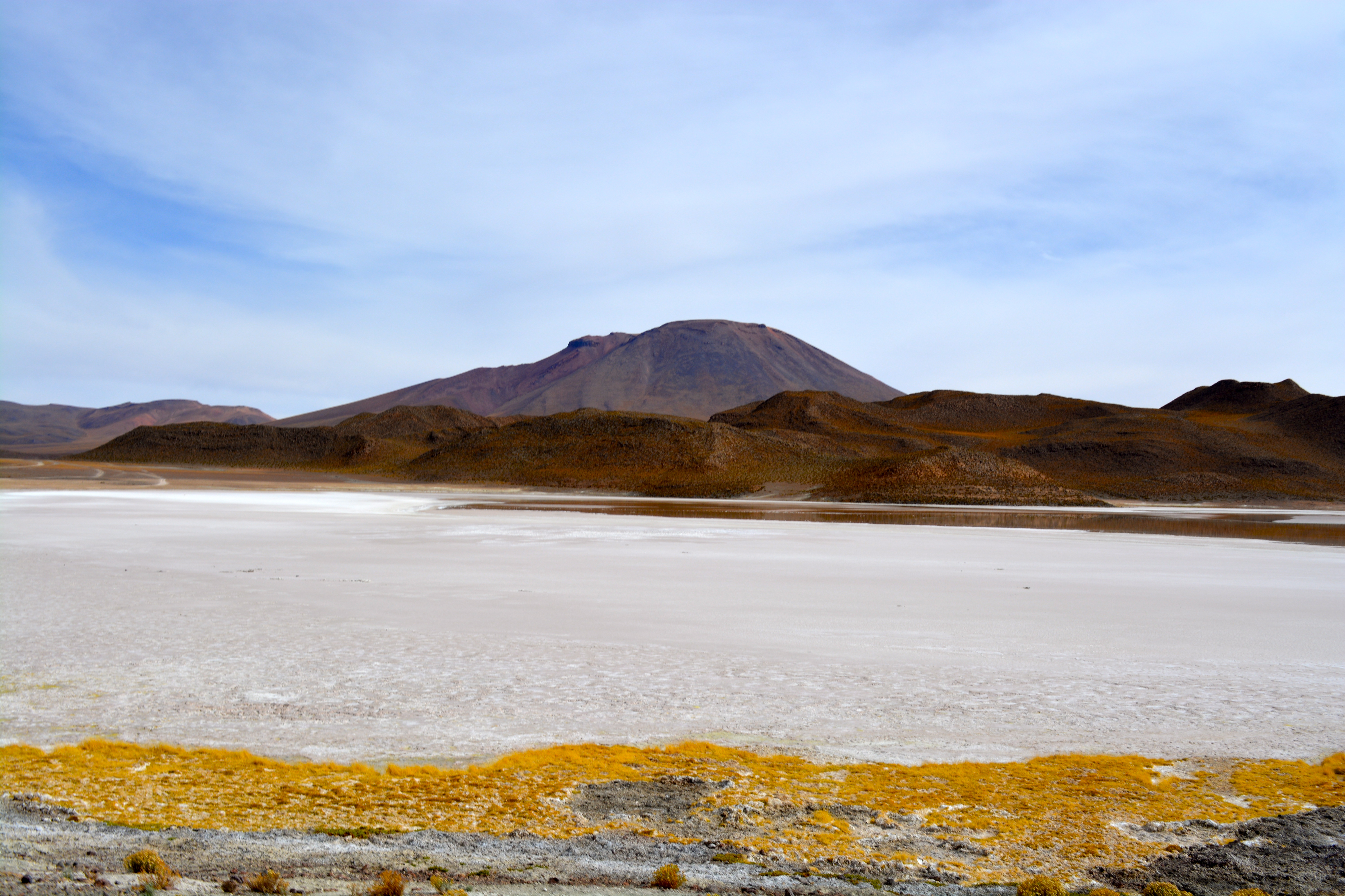
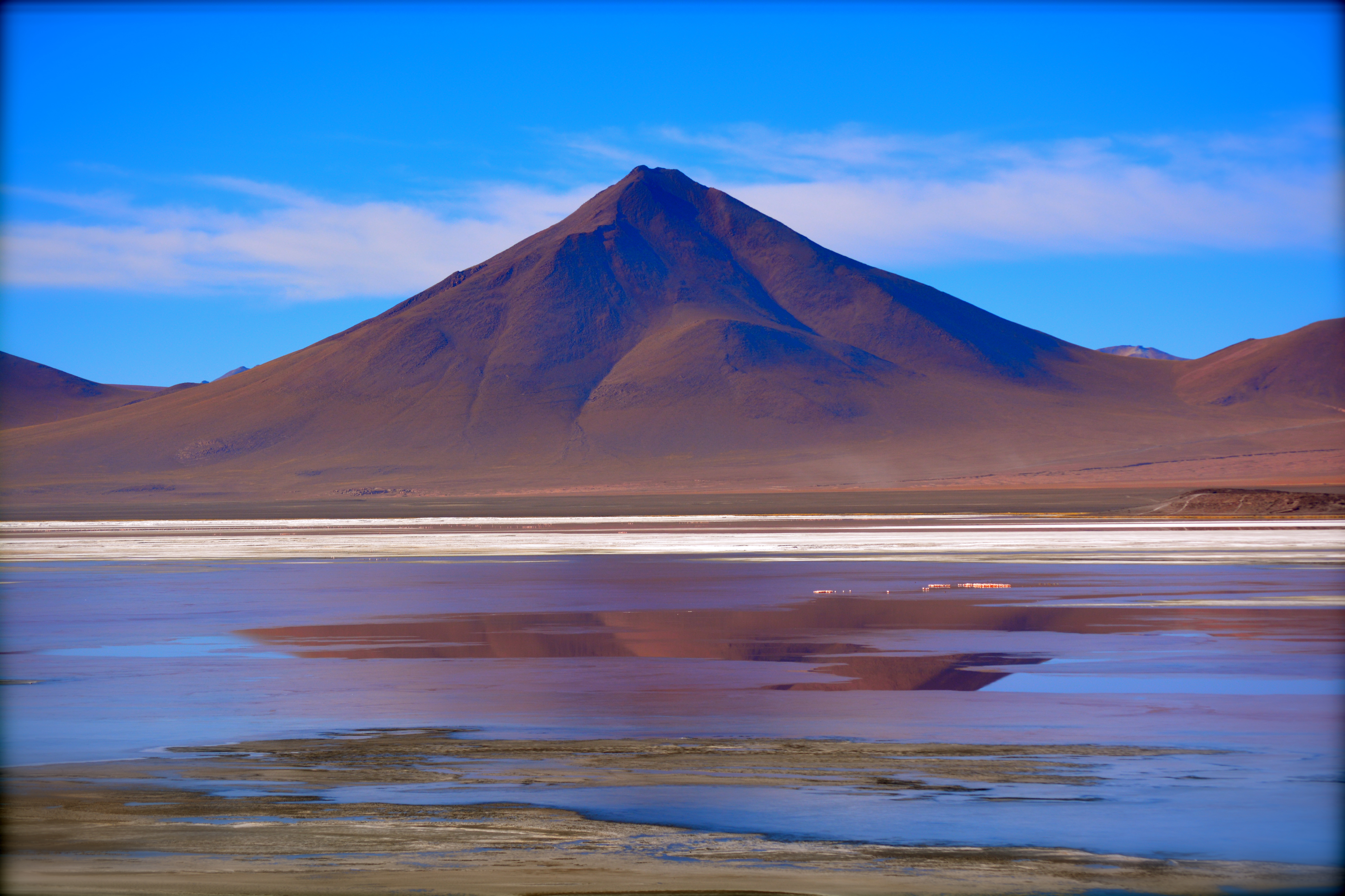
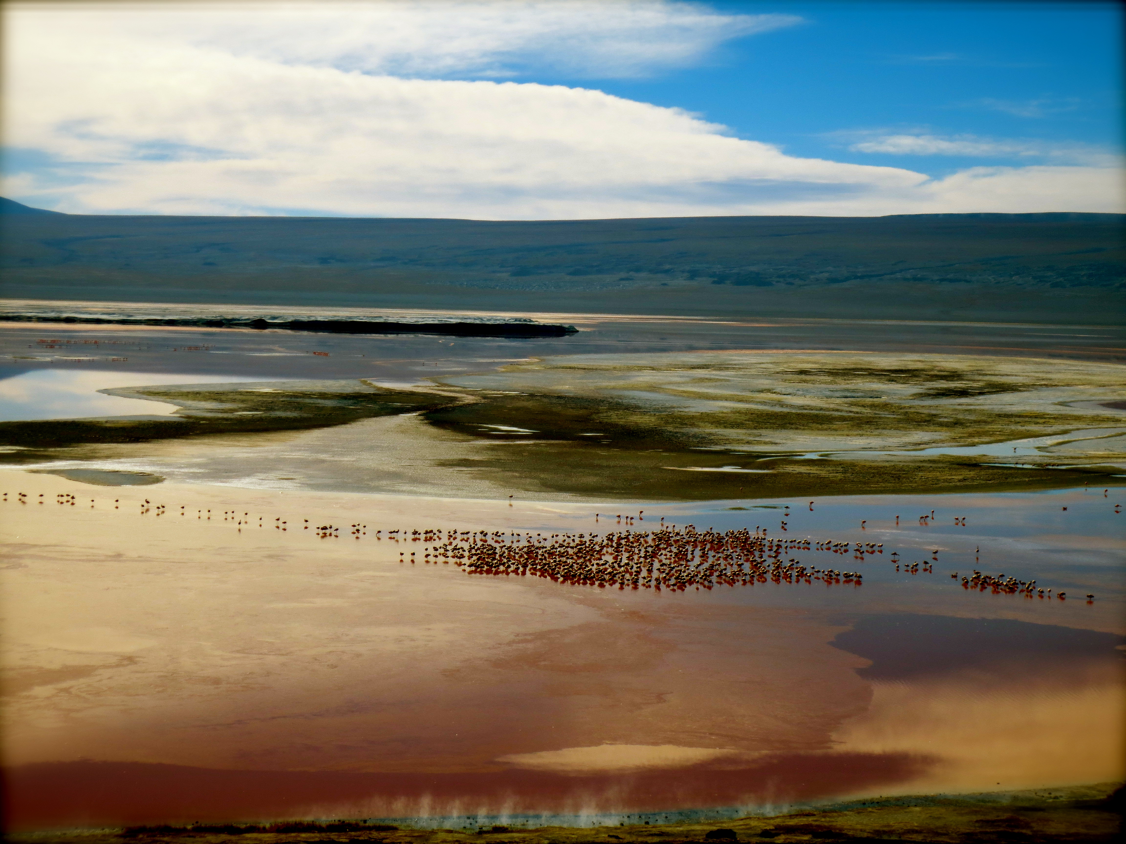
View from the Salt Hotel Luna Salada, in Uyuni. Images are the result of my dear husband’s endless patience and search for natural beauty. Photos are unaltered.
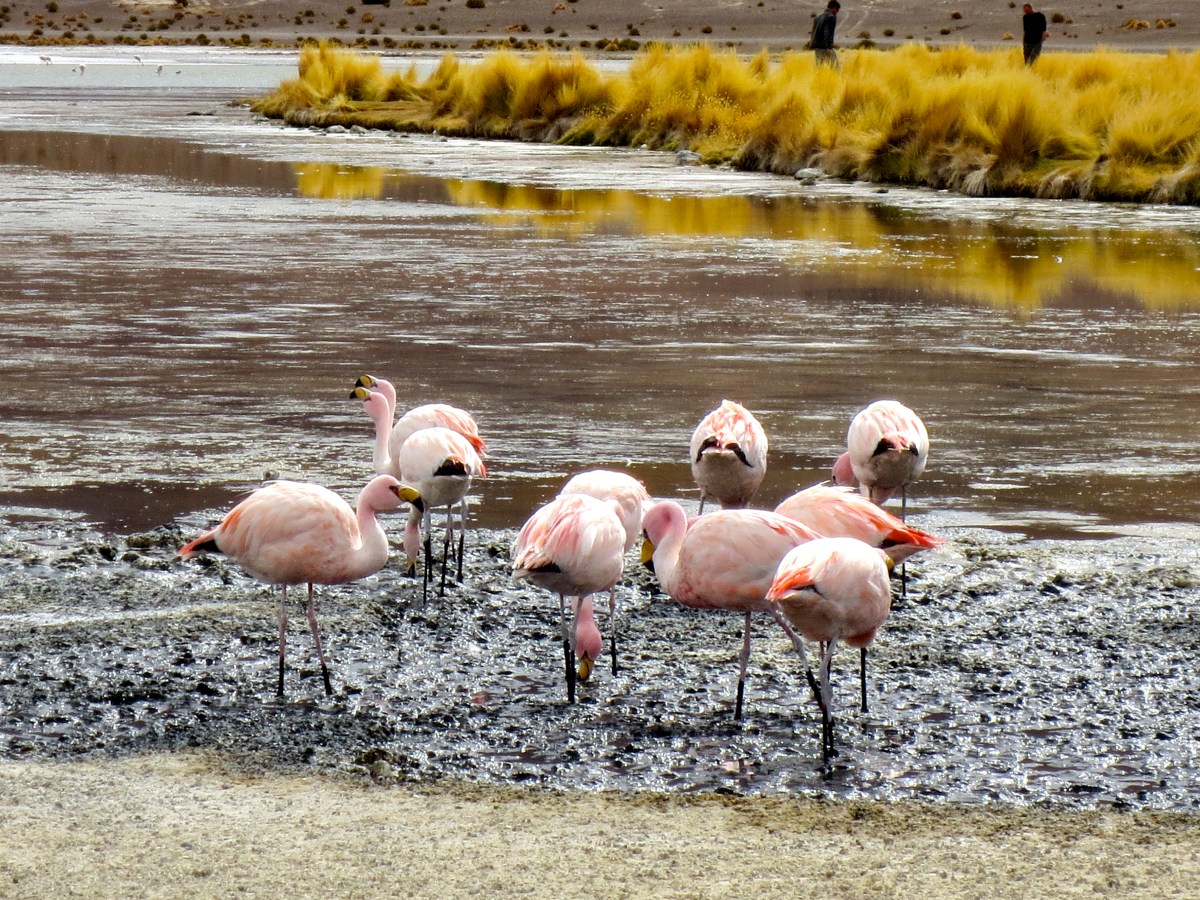
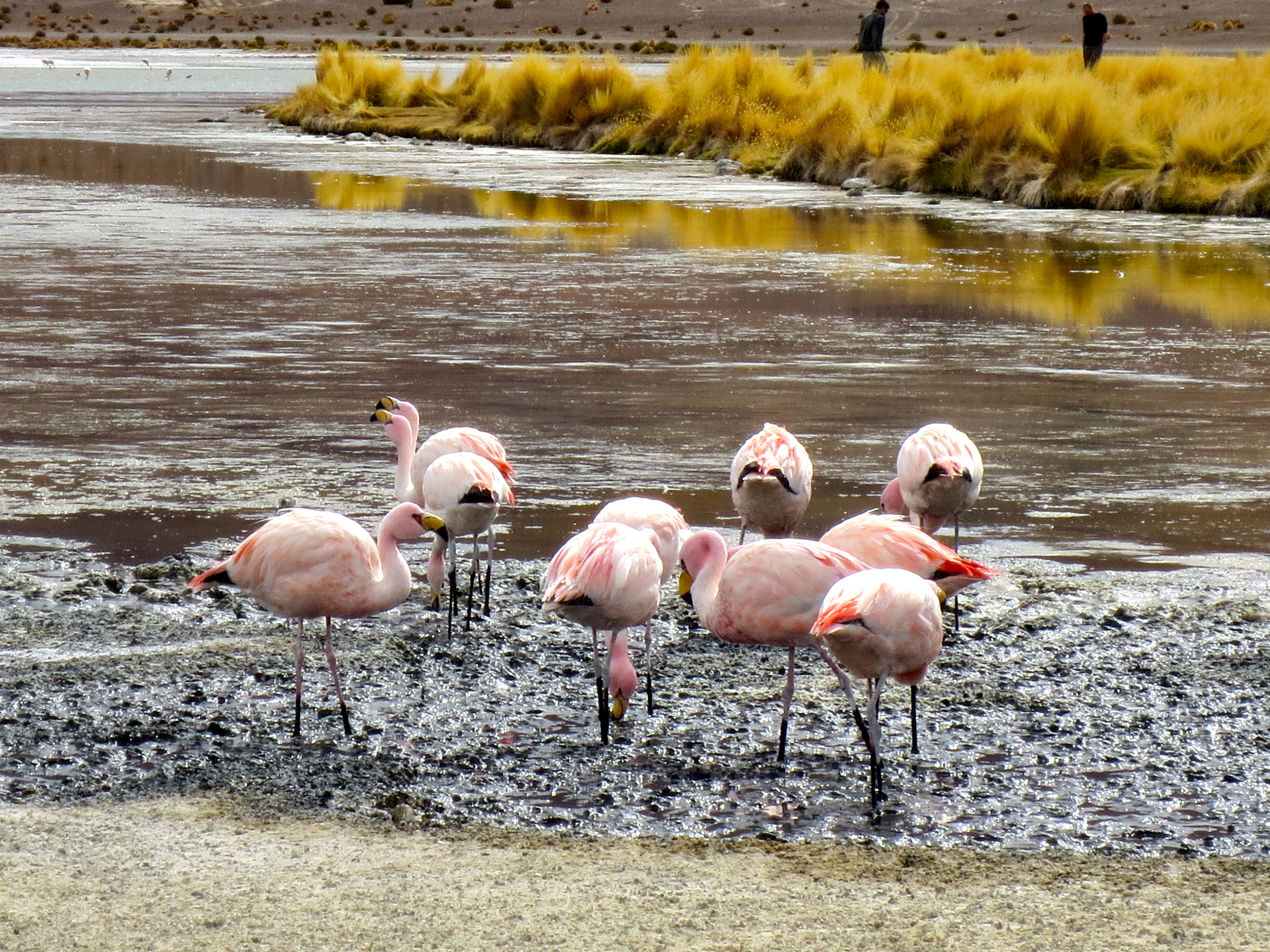
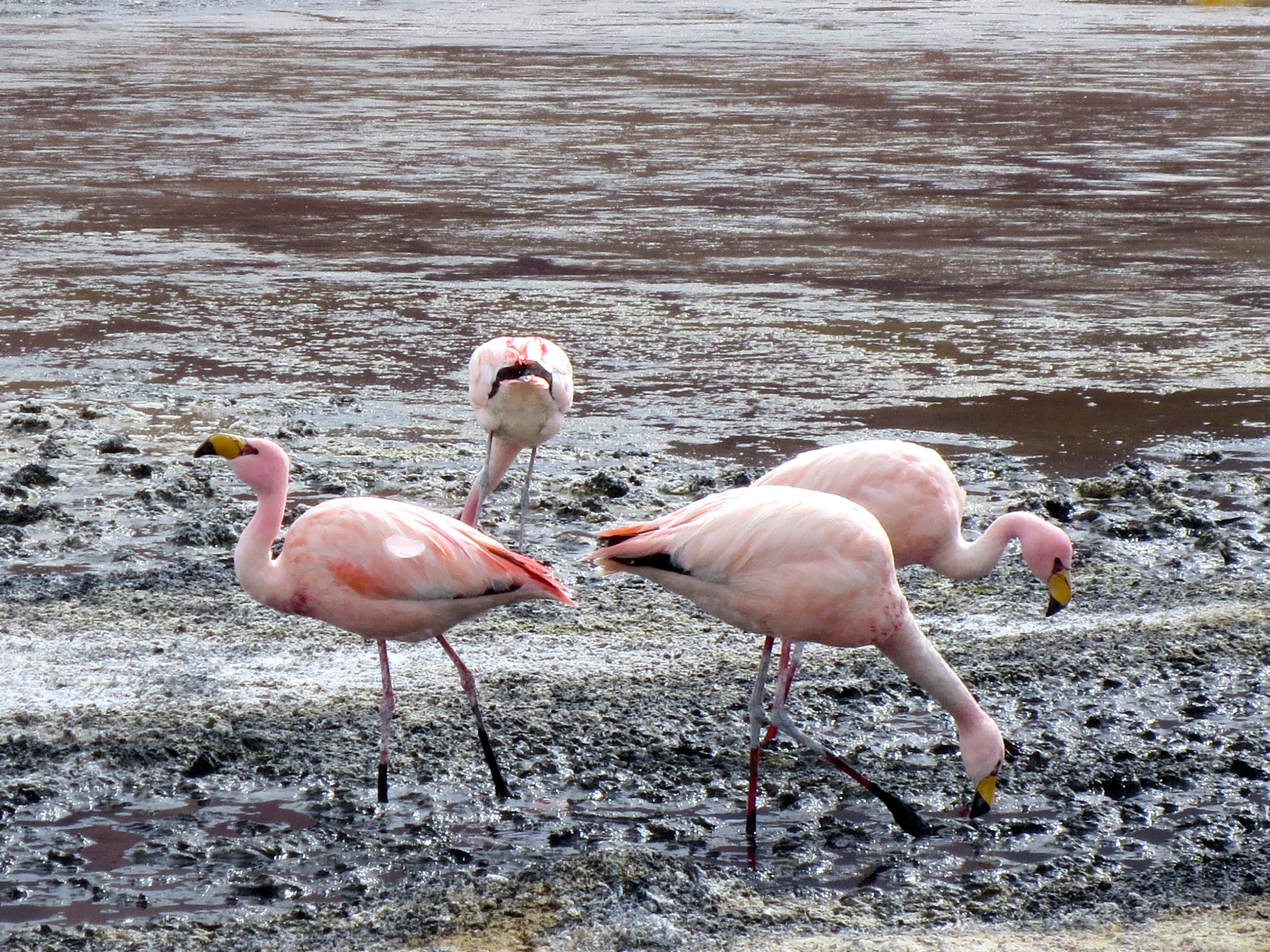
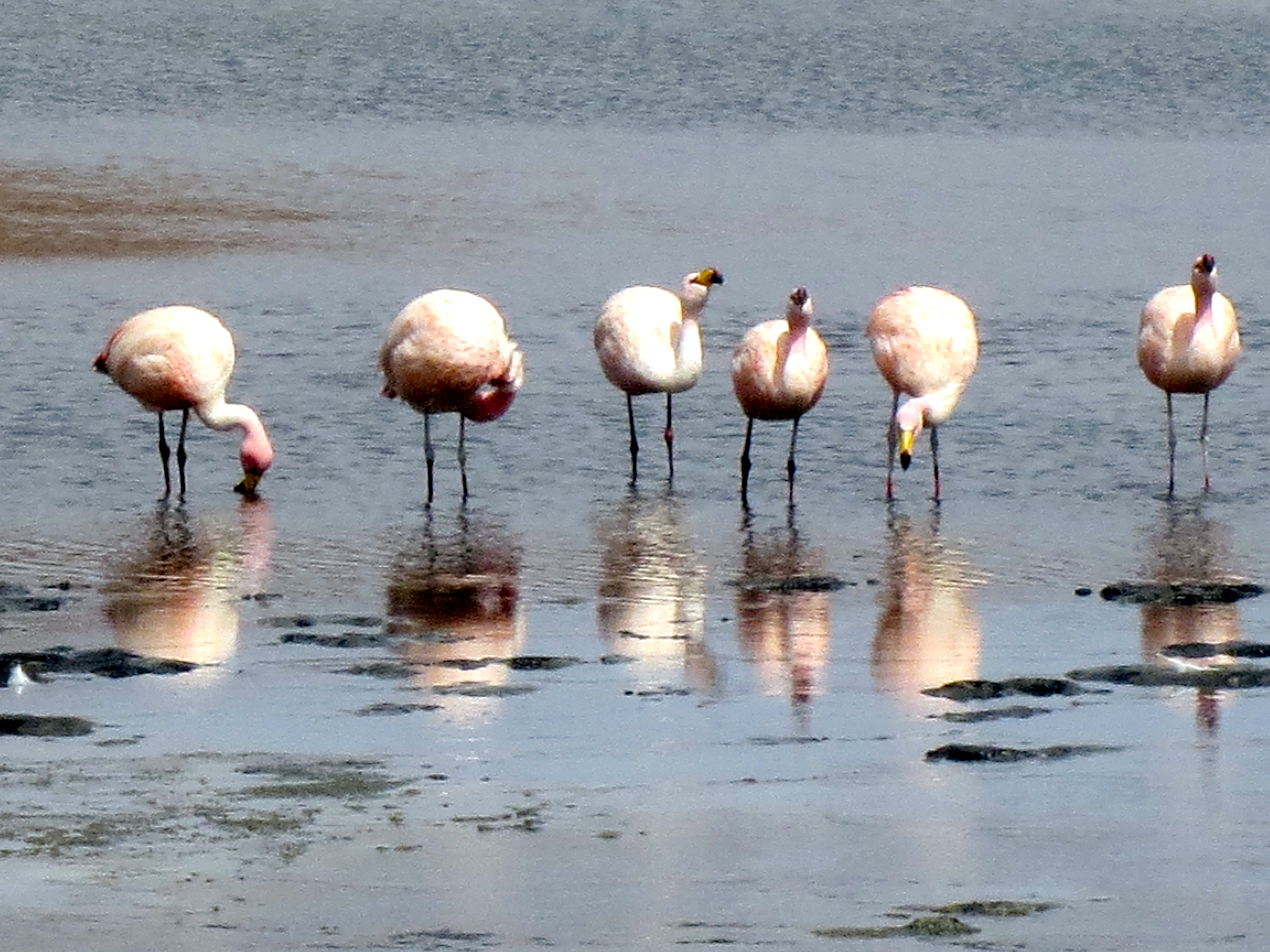
Laguna Colorada (Red Lagoon) is a shallow salt lake in the southwest of the altiplano of Bolivia, within Eduardo Avaroa Andean Fauna National Reserve, close to the Chilean border.
The lake contains borax islands, whose white color contrasts nicely with the reddish color of its waters, which is caused by red sediments and pigmentation of some algae. James’s Flamingos abound in the area.
Laguna Colorada (Red Lagoon) is a shallow salt lake in the southwest of the altiplano of Bolivia, within Eduardo Avaroa Andean Fauna National Reserve, close to the Chilean border.
Exploring the amazing beauty of Laguna Colorada is a sheer delight for any traveler. Laguna Colorada is a breeding ground for the famous flamingos. The algae of Laguna Colorada are the source of food for the rare James flamingos and also for the Chilean and Andean flamingos.
There are also over 50 species of other birds which have made this lake their home. It is an unforgettable scene to watch the flocks of flamingos on the lake as they collect their food and fly over the red water.
The so-called Laguna Colorada covers about 60 sq. kilometers (37 sq. miles), with a depth of about 50 cm (20 inches).
With a high salt content, the fiery red color of Laguna Colorado is derived from algae and plankton that thrive in the mineral-rich water of sodium, magnesium, borax and gypsum; as well as red sediments and pigmentation of some algae.
View from the Salt Hotel Luna Salada, in Uyuni. Images are the result of my dear husband’s endless patience and search for natural beauty. Photos are unaltered.
Árbol de Piedra (“rock tree”) is an isolated rock formation in the Eduardo Avaroa Andean Fauna National Reserve of Sur Lípez Province, Bolivia. Much photographed, it projects out of the altiplano sand dunes of Siloli in the Potosí Department, about 18 kilometres (11 mi) north of Laguna Colorada. Also known as the “Stone Tree,” it is shaped like a stunted tree, and is formed into a thin rock because of strong winds and the material is sand stone.
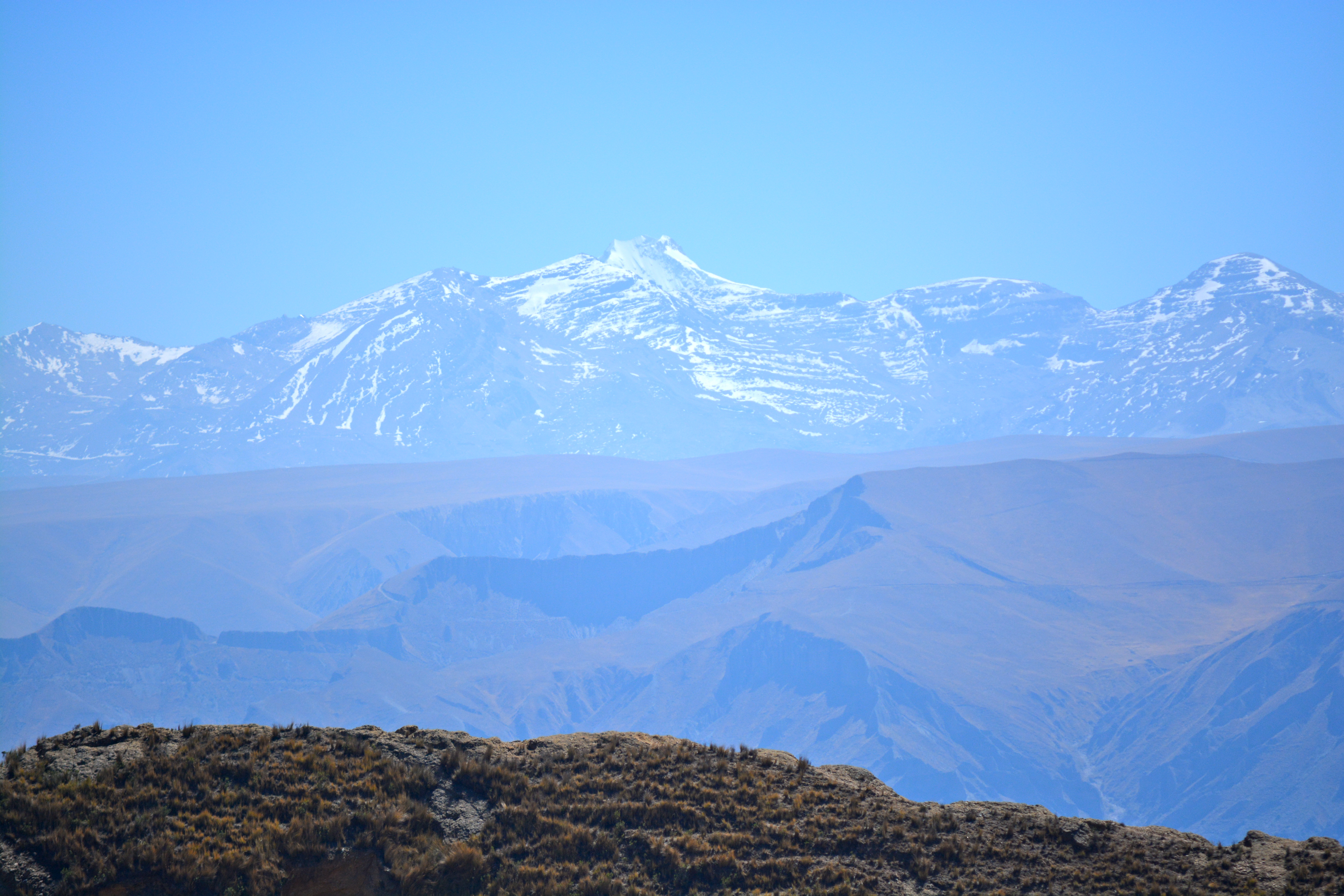
For this week photo series, I’m bringing in our view from the top of the Muela del Diablo [‘The Devil’s Molar’] mountain – result from a recent family hiking trip. If curious to see more unique images about this intriguing, challenging attempt, filled with endless beauty, come by later and click here! [Still working on the “Pictorial Journal”!] 😮
For this week photo series, I’m bringing in our view from the top of the Muela del Diablo [‘The Devil’s Molar‘] mountain – result from a recent family hiking trip. If curious to see more unique images about this intriguing, challenging attempt, filled with endless beauty, come by later and click here! [Still working on the “Pictorial Journal“!] 😮
For the second view, moving the point of interest a little – from the natural scenario, searching for the urbane: at the center, the city of La Paz, surrounded by the mountainous chain, and blessed by the lightest blue sky…
Eng. Leo Veras takes responsibility for the Navi Project (Projeto Navi), a pioneer experiment at the archipelago – unique, and wonderful!
We were taken to observe the marine life, 16 meters deep, thanks to the ship’s glass bottom, resistant to pressure, high volume and speed. Talk about biology, math, physics, all at once! Lovely and fantastic! We were able to snap several shots, as well as, a couple of videos during our expedition. All 3 images from the Project’s Website (above) are used with permission from the Project’s Coordinator. [We are very thankful to Mr Leonardo Veras for his attention, kindness and, obviously, for the private tour!] All other photographs, (including all the videos to come!) presented below, are part of our family’s personal collection (feel free to use or share them, just remembering to mention the original source!) 😮 Thanks for the interest!
Fernando de Noronha has caught the imagination of travelers for centuries and many urban myths are associated with this gloriously surreal island. The archipelago is made up of one 11-square-mile chunk of volcanic rock and 20 smaller islands, three degrees south of the equator, 220 miles from Brazil’s north-eastern coast. Fernando de Noronha’s claim to fame is its diverse and rich ecosystem.
The "Two Brothers" hill - Morro Dois Irmãos, viewed from the Praia da Cacimba do Padre, FN. All images from 3rdculturechildren.com
This post was promised a long time ago…It’s already been a month we came back from the archipelago, and finally, got through the last photos – the last two posts, a bit on the “scientific side”, but still, very enjoyable. Sharks and Marine investigation. Today, it’s all about the sharks. Backstory: Just like the Atlantis, Fernando de Noronha has caught the imagination of travelers for centuries and many urban myths are associated with this gloriously surreal island.
The archipelago is made up of one 11-square-mile chunk of volcanic rock and 20 smaller islands, three degrees south of the equator, 220 miles from Brazil’s north-eastern coast.
In Atalaia Beach, we were able to snorkel with fishes and juvenile sharks, checking out the swarms of hawksbill and green turtles, and also, witness rare island species like iguanas. Other adventure seekers like us, engaged in underwater activities, diving and snorkeling to experience the prolific marine life including albacore, barracuda, snappers, cangulos (fish)… Continuing with our experiences in Noronha, we reserved some time to visit and enjoy the company of Leonardo Veras, the curator for Fernando de Noronha’s Shark Museum (“Museu dos Tubarões”). Leo, as he prefers to be called, is a passionate engineer who lives and works at the main island, and was kind enough to take us on an unforgettable trip through the marine world! An upcoming post will share our adventures with Leo Veras and his Navi Project, investigating the deep open ocean waters. For now, you’ll be left with images we snapped while visiting the “Museu dos Tubarões” – current residence of Leo Veras, his own sculpture garden and his “front yard view”. Check them all out! 😮
Our host, Eng. Leonardo Veras
This slideshow requires JavaScript.
Fernando de Noronha’s claim to fame is its diverse and rich ecosystem. And while nature lovers throng to this eco-paradise, the volcanic island with its splendid marine life, dramatic rock formations and long lazy stretches of beaches is the perfect romantic destination as well… We’ll miss it!
The "Two Brothers" hill - Morro Dois Irmãos, viewed from the Praia da Cacimba do Padre, FN.
Just like the Atlantis, Fernando de Noronha has caught the imagination of travelers for centuries and many urban myths are associated with this gloriously surreal island. With its powdery beaches, lush rolling greens and crystalline azure waters, Fernando de Noronha is a tropical paradise of sublime beauty that is steeped deep in mysticism and mystery. The archipelago – named after a 16th-century Portuguese nobleman who may never have actually set foot there – exists in the proud Brazilian imagination, as well as a beautiful group of a main island and several islets. Fernando de Noronha is, strictly speaking, an archipelago made up of one 11-square-mile chunk of volcanic rock and 20 smaller islands, three degrees south of the equator, 220 miles from Brazil’s north-eastern coast.
Discovered in 16th century, the eco-wonderland is big on conservation, thus traveling from mainland is expensive business. Fernando de Noronha has the best beaches in Brazil, as Guia Quatro Rodas Praias, Brazil’s ‘Beach Bible’, bestowed five starts to only four beaches in Brazil – and three of them are at Fernando de Noronha. One of the more popular ways to explore the island-mountain is by hiring a dune buggy [look at our photos here on the sides!], which is available easily for rent.
We would always start or days early, heading towards Lago dos Dois Irmãos, or walking down the cobblestone streets in Vila dos Remédios.
street in Vila dos RemédiosMain Church - Igreja da Conceição
In Atalaia Beach, we were able to snorkel with fishes and juvenile sharks, checking out the swarms of hawksbill and green turtles, and also, witness rare island species like iguanas. Other adventure seekers like us, engaged in underwater activities, diving and snorkeling to experience the prolific marine life including albacore, barracuda, snappers, cangulos (fish)… An upcoming post will offer more details about our encounters with the marine and wild lives from the archipelago 😮
Leão, Sancho and Porcos Bay are the best beaches in Fernando de Noronha and our personal favorite is Sancho Bay as the water changes color from crystal to turquoise to emerald and there is a huge reef wall around the beach making it popular among snorkelers. These will be subject of upcoming posts, since we’re still going through our pictures, often having to bring ourselves back to our present time…
Watching the sunset behind the "Morro Dois Irmãos" (Two Brothers)Hiking along the beach coast - Praia do Cachorro, Praia do Meio, Praia da ConceiçãoOne of the natural wonders found during our hiking adventures - native Atlantic/Rain Forest setting
Turquoise watersIntriguing formations among the volcanic rocks
Fernando de Noronha’s claim to fame is its diverse and rich ecosystem. And while nature lovers throng to this eco-paradise, the volcanic island with its splendid marine life, dramatic rock formations and long lazy stretches of beaches is the perfect romantic destination as well… and we can vouche for that! 😮
hiking couple 😮
…finally, leaving you “curious for the posts to come“, a glimpse of what we found during our eco-friendly explorative adventures: 😮
[We still need to share our experiences with the Brazilian TAMAR Project (marine turtles) and with the Shark Museum (“Museu do Tubarão”)]. Imagine!!
This is the first in a series of posts on our recent trip to the Brazilian Archipelago of Fernando de Noronha: leisure, research, adventure, photography.
Peaks of the Southern Atlantic submarine ridge form the Fernando de Noronha Archipelago off the coast of Brazil, representing a large proportion of the island surface of the South Atlantic and the rich waters are extremely important for the breeding and feeding of tuna, shark, turtle and marine mammals. The islands are home to the largest concentration of tropical seabirds in the Western Atlantic. Baia de Golfinhos has an exceptional population of resident dolphin. The Fernando de Noronha archipelago covers the majority of the main island and includes the majority of smaller offshore islands and islets. The islands are part of a large submarine mountain system of volcanic origin, which rises from the ocean floor some 4,000 m in depth. The Fernando de Noronha volcano is estimated to be between 1.8 million and 12.3 million years old. The coastline is complex, with a number of high cliffs and sandy beaches. The north-west facing shores are relatively calm, whereas the south-east shores face the predominant currents and winds and are largely rocky shores with significant wave action.
Arriving… flying along the coastline
And here, a snapshot of “who’s got an unchallengeable view” of this paradise:
The highly productive coastal waters around islands are used by many fish species for spawning and as a refuge for juvenile fish. The shallow waters also provide habitat for benthnic organisms (such as coral, sponges and algae). Oceanic islands therefore play a key role in the reproduction and dispersal of marine organisms, providing a staging point for the colonization of other coastal areas and the surrounding ocean. There are less than 10 oceanic islands in the South Atlantic and the Fernando de Noronha Archipelago represents almost 50% of the islands in terms of surface area. As the site makes up such a large proportion of insular South Atlantic coastal area, it is an important repository for the maintenance of biodiversity for the entire South Atlantic basin.
Fernando de Noronha is also the only know location for Insular Atlantic Forest – a subtype of Atlantic Rainforest. To date over 400 species of vascular plants have recorded, including three endemics. The archipelago also contains the sole oceanic mangrove in the South Atlantic. [Source: UNESCO/CLT/WHC]