Want more from this week’s gorgeous ‘Masterpiece’ Photo Challenge? Here they are!
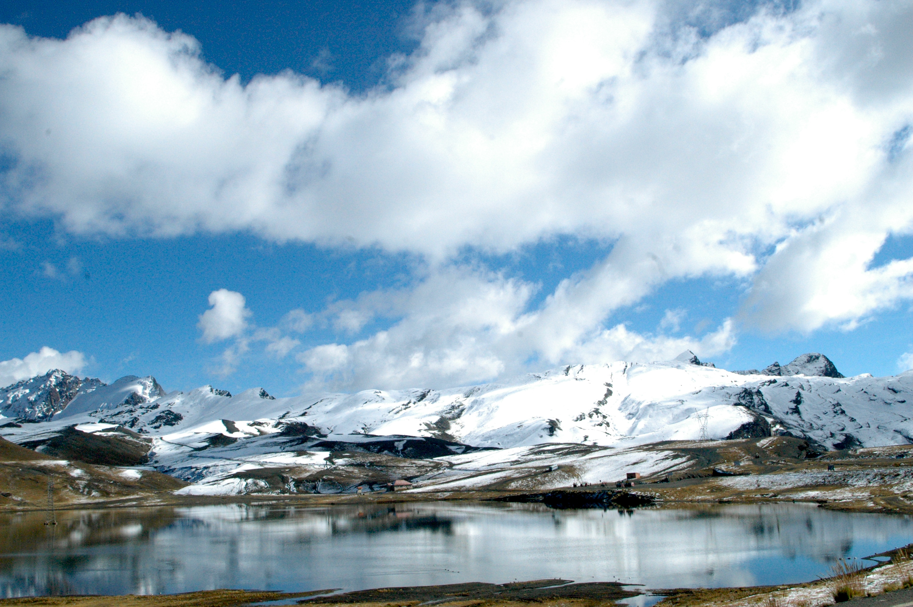
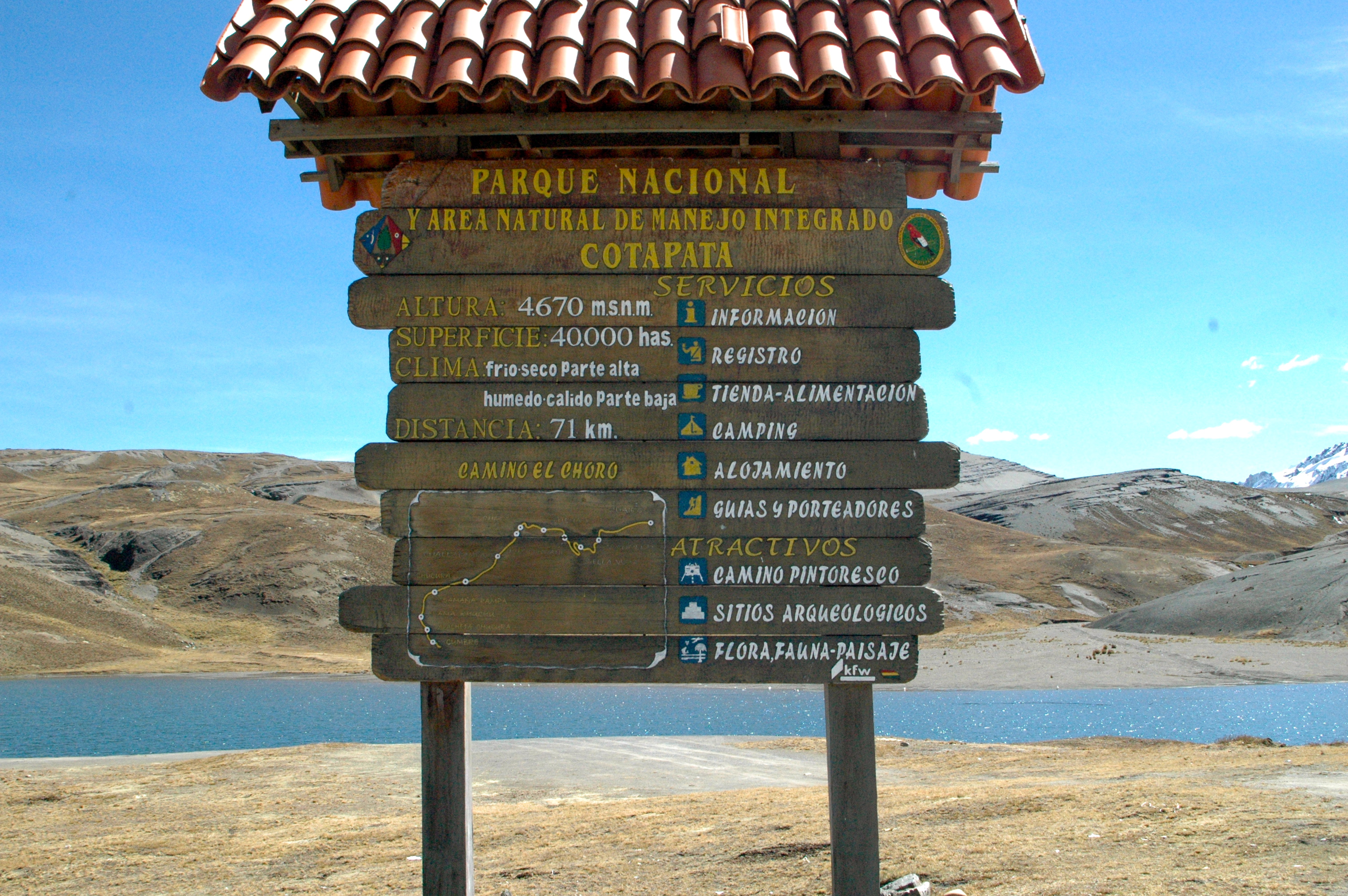
Around 20km north of La Paz, some four hundred square kilometres of the north face of the Cordillera Real are protected by PARQUE NACIONAL COTAPATA (otherwise known as Parque Nacional y Area Natural de Manejo Integrado Cotapata).
Ranging in elevation from 1000m to 6000m, Cotapata encompasses many of the astonishing range of different ecosystems and climatic zones formed as the Andes plunge down into the valleys of the upper Amazon Basin.


Within a remarkably short distance high mountain peaks, snowfields and puna grasslands give way to dense cloudforest, which in turn blends into the humid montane forest that covers the lower slopes of the Andes in a thick green blanket.


The cloudforest – also known as the ceja de selva or “jungle’s eyebrows” – is particularly striking, made up of low, gnarled trees and home to many unique bird species, and elusive pumas and spectacled bears.
 |
Cotapata National Park and Integrated Management Natural Area (Parque Nacional y Área Natural de Manejo Integrado Cotapata) is a protected area in the Yungas of La Paz Department, Bolivia.
Related articles
- Plunge into the Yungas (notesfromcamelidcountry.net)
